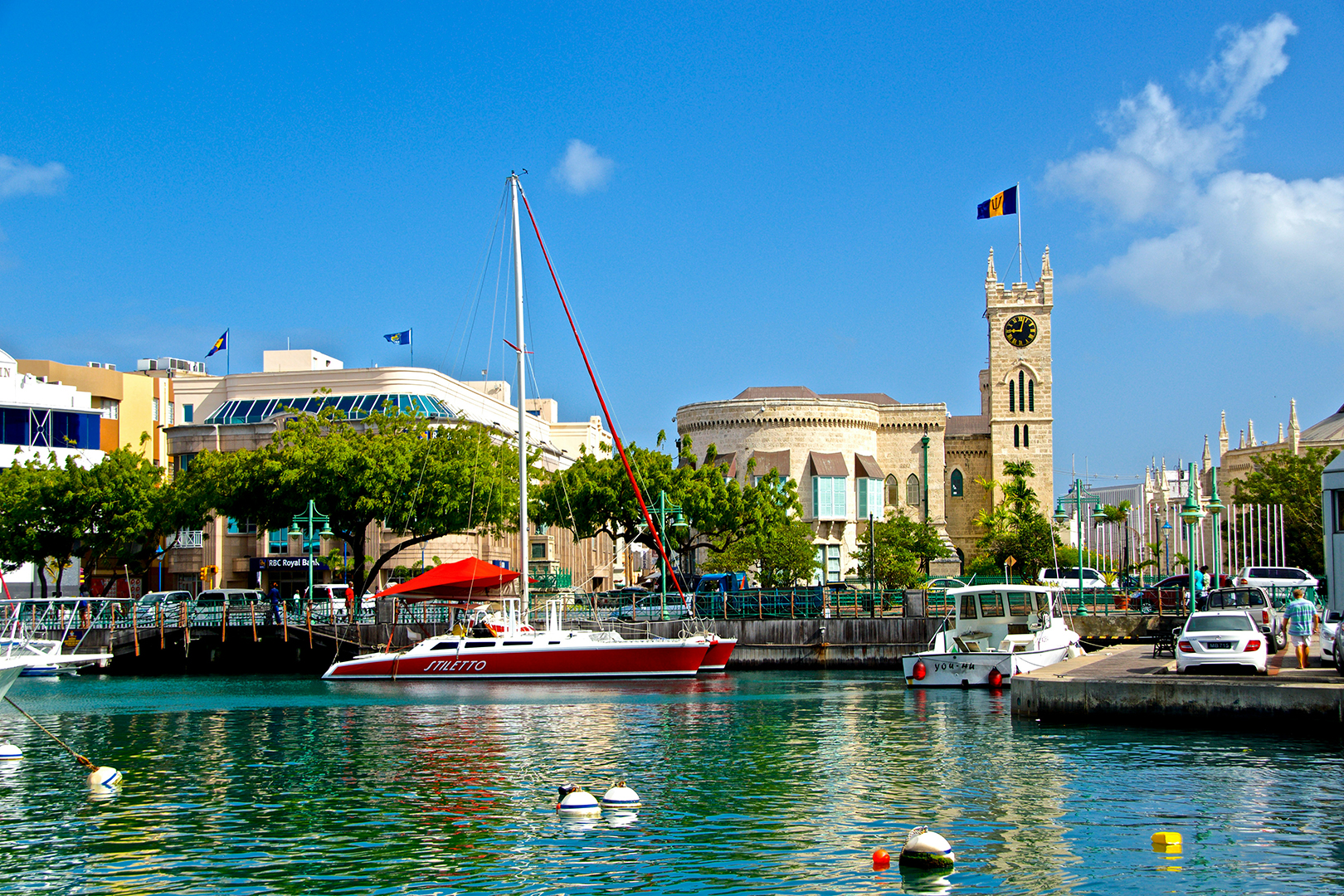
Barbados remains under a hurricane warning as Hurricane Beryl intensifies into a Category 2 storm.
With maximum sustained winds of 100 mph (155 km/h), Beryl is expected to become a major hurricane before reaching the island late tonight.
The storm’s centre is projected to pass about 73 miles (118 km) south of Barbados early Monday morning, but its impacts will begin tonight.
Residents should prepare for hurricane-force winds and heavy rainfall, with expected accumulations of 1 to 3 inches that may lead to flash flooding and severe thunderstorms. Marine conditions are also anticipated to worsen significantly.
As of 5 am today, Beryl was located approximately 465 miles (750 km) east-southeast of Barbados, moving westward at 21 mph (31 km/h). The hurricane’s eye is now visible on satellite imagery, indicating further strengthening. Hurricane-force winds extend up to 15 miles (30 km) from the centre, while tropical storm-force winds reach up to 80 miles (130 km) outward.
A hurricane hunter aircraft is currently en route to gather more data on Beryl’s structure and intensity, with the next update scheduled for 8 am today.
Residents are urged to stay informed and take necessary precautions as the storm approaches.
The post Hurricane Beryl intensifies to Category 2 appeared first on nationnews.com.

